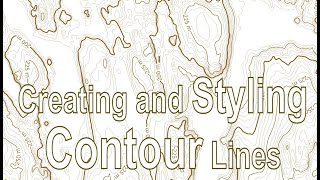
QGIS 101: Contour Lines from 30m DEM

** This video is dedicated to Abu Asal, who passed away last week in Amman/Jordan. **
In this video I will show you how to prepare contour lines from a set of regular data points – the SRTM 30m elevation model which is a raster data set. You will learn:
How to find the correct DEM for your project area.
How to set up a topography colour ramp & enhance it to show the local topography.
How to smooth the DEM raster using the Gaussian filter from SAGA.
How to extract contour lines from the smoothed DEM.
How to use the Geometry Generator to hide some contour lines.
How to use the Geometry Generator to control contour line thicknesses.
How to label the contour lines with custom formatted text.
How to save the contours and formatting inside a QGIS GeoPackage file.
How to save the settings in a Layer Style File, so you can use it for other projects.
Link to the Contour Layer Style File (QML): https://bit.ly/33GzsvB
Link to YouTube Video: • QGIS 101: Contour Lines from 30m DEM
This video is part of the online QGIS 101 training course.
For more videos on QGIS, see the QGIS 101 Playlist: • QGIS 101
In the next video we will look at how to contour point data.
#QGIS #ContourLines #SRTM