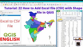
QGIS 101: How to import Excel Data (No CSV files)

In this video I will show you how to prepare a properly formatted Excel file which you can drop into QGIS to make a map of point data. We will use some water well data from the Kharga Oasis in the Western Desert of Egypt, where I used to work. You will learn:
tips and tricks of 'copypaste'
how to prepare a single title row
Format the data as and Excel table & how to rename the table in Name Manager
the importance of keeping data clean; don't mix numbers with text
We will import this data into QGIS without going via a CSV file & then you will learn:
creating a points layer from table
Editing point symbols & colours
Adding labels and adjusting text buffer & placement
Editing labels using the Expression Dialog
Exporting point layer to GeoPackage
Copying styles between layers
Saving styles in GeoPackage
Source of data: Mustafa ElRawy and Florimond De Smedt (2020): Estimation and Mapping of the Transmissivity of the Nubian Sandstone Aquifer in the Kharga Oasis, Egypt; Water 2020, 12, 604; doi:10.3390/w12020604
Link to paper: https://bit.ly/2FWEFXf
Link to processed Excel sheet: https://bit.ly/2TtDh1j
For more videos on QGIS, see the QGIS 101 Playlist: • QGIS 101