Free views, likes and subscribers at YouTube. Now!

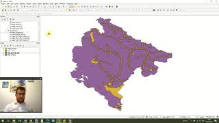
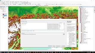
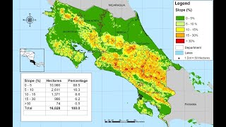
QGIS 2 Lesson 12 - Using the raster calculator

Data files used in this lesson can be found at www.dmad.org.tr/qgis2lesson12
In this lesson we will look at how we can use the raster calculator to make conversions between feet and metres and also use it to select part of our raster that is higher than a certain value. The same techniques could be used to select rasters of any range.


Recommended