Free views, likes and subscribers at YouTube. Now!

QGIS 3 Lesson 2 Using slope analysis tools for rasters in qgis

Data available at www.dmad.org.tr/qgis3lesson2
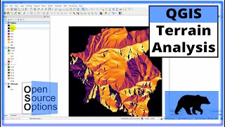
Hi and welcome to Lesson 2 in DMAD Marine Mammals Research Association's third free QGIS course. This course is for intermediate users and assumes previous knowledge. If you're new to GIS or haven't used it for a while then I suggest flicking through a few of our previous lessons. In today's lesson we're going to use slope analysis to look at the steepest part of our raster.


Recommended