Secret weapon how to promote your YouTube channel

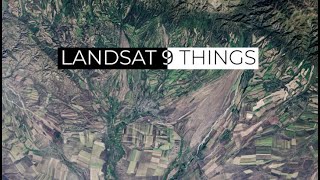
QGIS User 0039 - Landsat 9

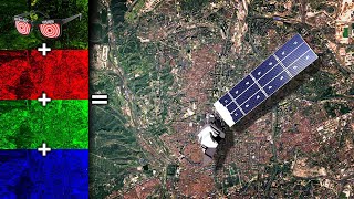
Using multispectral satellite data from Landsat 9 in QGIS to create color imagery of high quality.
Also try a virtual raster for RGB and then the processing tool GDALPansharpening to enhance it with the pancromatic band. A bit more complex, but in most cases it will get you a better result.
https://earthexplorer.usgs.gov/
Want to learn more about Landsat 9:
• Landsat 9 At Work


![Obtaining + Loading Landsat Imagery in QGIS (lab 2 V1) [SEE UPDATES BELOW!!]](https://i.ytimg.com/vi/mBk2VIMawRE/mqdefault.jpg)


Recommended