Get YouTube subscribers that watch and like your videos

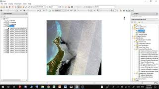
Remote Sensing #18 - ENVI Sentinel 2 download georeference layer stack

Please watch this video WITH the next video and read both descriptions.
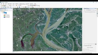
How to georeference satellite images and then stack them for your own layer classification
Note!
Right before layer stacking and after georeferencing (right clicking layers)
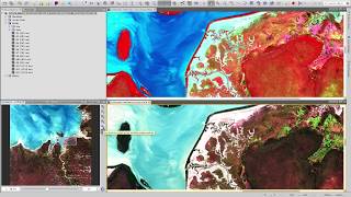
use the tool (at right) BAND ALGEBRA Band Math.
to use this tool watch my next video.
here:
• Remote Sensing #18+ ENVI Layer stac...
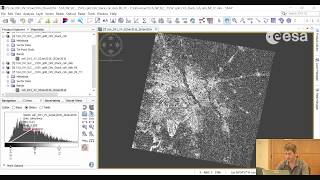
In the window for layer stacking:
make sure after importing all your files that they are ordered correctly (use Reorder files, BAND 1 should be at the top and then B2..B3...etc...)


Recommended