Grow your YouTube channel like a PRO with a free tool

Remote Sensing Tutorial 20b: Accuracy Assessment of Landsat Imagery

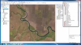
Tutorial 20b in a series of 20 (20 is broken into two videos: a and b) covering remotely sensed data in ArcMap 10.x versions. This tutorial covers accuracy assessment of classified Landsat Imagery. Full written versions of all tutorials can be accessed at www.virginiaview.net/education.html


Recommended