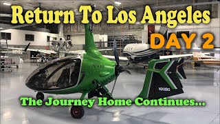
Return To L.A. – Day 1... Mentone IN to Lincoln NE...

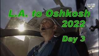
Well, it’s time to finally head back home. The emotions of visiting Oshkosh for the first time, and meeting good friends at Mentone had to be put aside for later revisiting, but now I had to concentrate on 3 or 4 days of hard flying home to California.
A good friend sacrificed his morning sleep to drive me from Warsaw, where our hotel was, to Mentone – I owe him big. Early morning departure would ensure the maximum amount of available daylight, and flying early in the morning would provide cooler temperatures.
My flight preparations revealed that an anticipated cold front was ahead of its schedule, so my plan of reaching Davenport, IA, by midday was out the window. That part of the country was about to get drenched. I also realized that all of this activity was contained just north of Peoria, IL, which left me a path around the front I can comfortably follow.
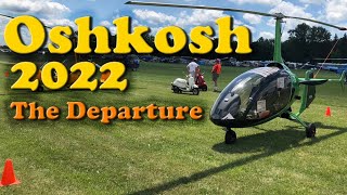
I finished my preflight procedure and started the engine. Mentone airport does not have taxiways, so one must taxi back on the runway itself. As I reached the north end I made a Uturn, did my runup on the spot… prerotated and took off. Since the surface is quite rough, I executed a modified soft field takeoff by jumping off the runway as soon as possible but then remained in ground effect to get my airspeed up. Once in the air, I did a circle around the grounds, waved goodbye, and headed to the WestSouthWest.
The first fuel stop was Jasper County Airport nice long runway and wellmaintained ramp. It was Sunday morning, so there was nobody to be seen. After topping off, I reassessed the weather situation. The southern edge of the front was at Peoria, and from the colors on the map, it looked like some heavy rain was falling. I adjusted by plans, plotted them in ForeFlight, and after a quick restroom break, headed out toward my next destination – Bloomington. IL.
The flat landscape of Illinois allows for safe straightline flights from point A to Point B. No need to follow the roads the way I do when the terrain is a bit more challenging. There was also 8 to 10 knots wind from the SouthWest, which was slowing down my progress somewhat, but I believe it was also contributing to the rain being confined to the north of my route.
Bloomington is a fairly large airport. The helpful ramp personnel at the FBO were quick to assist in getting my fuel.
As I was planning my next stop, I had to make a decision to either wait for maybe an hour for some precipitation to clear, or the swing even further south into northern Missouri. I decided to stay a bit longer on the ground at Bloomington, while monitoring the conditions around Peoria. If push comes to shove, I could have stayed right where I was and wait for the weather to pass.
As an hour, then two passed by, I realized that my route was open enough to proceed further to the West. Few potential diversion airports along the way helped me in making the decision to continue. With no delay I was in the air, headed toward Macomb.
Macomb Airport is located in the middle of a sea of corn and soy beans – green as far as eye can see. As with all other rural airports there was not a soul around on Sunday, but their Pilot’s Lounge was airconditioned and in very good shape. By reaching Macomb, I managed to skirt the cold front, so now I would be able to swing my route into southern Iowa where I would be closer to Hwy. 80 going West.
The familiar cycle of topping off the fuel tanks, adding Decalin to the fuel, visiting the little boys’ room was repeating once again, and before I knew it, I was in the air again. Soon after I approached the Mississippi at Burlington.
My next stop was Ottumwa, Iowa. As I was plotting the course for my next leg, I realized that Lincoln, Nebraska, would be a good stopping point, and it was reachable within 3 to 4 hours. Oh, and there was a conveniently positioned airport at Creston, Iowa, half way between Ottumwa and Lincoln for a pit stop.
A second wave of storms was pushing its way to the East, and its southern edge was around Omaha. My route was allowing me to skirt it to the south as I did with the previous front.
At this time of the day the sun is starting to lean toward the western horizon and its rays hit the haze at such an angle that makes it very hard to see through in the distance. At the altitude I was flying, I was going to avoid most ground obstacles from below, and most fixed wing traffic from above, so I was not concerned about a midair collision, but that did not make the flying particularly pleasant.
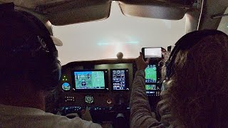
I was concerned that Lincoln may switch IFR if the haze gets particularly thick. That would not have been a good situation, but as I neared the city, it was obvious the conditions were not that bad. I friendly tower controller directed me to Rwy. 35, and soon after I touched down, I was parking at the FBO. Here is a good time to give a big shout out for Duncan Aviation. These guys took a good care of Hummingbird and me.