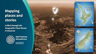
Revealing the data layers of Aotearoa's taiao
Join us for this online hikoi through Aotearoa's increasingly rich geospatial taiao data to support kaitiakitanga activities.
Access real time satellite imagery, and the most uptodate aerial photography.
Access real time live data for streams, rivers, lakes and catchments.
Find, access and use mapping tools and geospatial data without downloading.
How to add council and government layers into your maps directly.
Where to find more data about the climate, biodiversity, freshwater quality, geology, soil maps, Māori land block maps, and much much more.
This session was part of our Ngā Poutama Matawhenua series, where we focus on practical, accessible and useful mapping data, and how you can access and use it. No prior mapping experienc