River Basin sub basin shapefiles for any area of the world

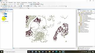
Hello everyone, Welcome again in another new video tutorial. Today I will show you how to get Basin, sub basin, river, lake shapefile for the whole world. This tutorial will be helpful for you who wants to study/research/job in hydrology sector. You can easily get river networks, watershed boundaries, drainage directions, and flow accumulations without DEM analysis.
HydroSHEDS provides hydrographic information in a consistent and comprehensive format for regional and globalscale applications. HydroSHEDS offers a suite of georeferenced data sets in raster and vector format, including stream networks, watershed boundaries, drainage directions, and ancillary data layers such as flow accumulations, distances, and river topology information.
The goal of developing HydroSHEDS was to generate key data layers to support regional and global watershed analyses, hydrological modeling, and freshwater conservation planning at a quality, resolution and extent that has previously been unachievable.
Reference: HydroSHEDS website: https://www.hydrosheds.org/
Tags: hydrology, watershed analysis, how to download basin, river shapefile, hydrological modeling, watershed, river network, download, river shapefile, watershed delineation, river basin, drainage


![How to Download Digital Elevation Models (DEM) in QGIS [OPENTOPOGRAPHY]](https://i.ytimg.com/vi/FeM86Gz40_k/mqdefault.jpg)