A little secret to rock your YouTube subscribers

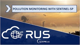
RUS Webinar: Lithological Classification with Sentinel-1 u0026 Sentinel-2 - GEOL01
During this webinar, we will employ RUS to learn how Sentinel data can contribute to geological mapping. We will use Sentinel1 GRD Level1 and Sentinel2 MSI Level2A products to classify the different lithological units and structures over the AntiAtlas Mountains in Morocco and combine it with geological data.
We will also show you how to access the RUS Service and how to download, process, analyze and visualize the free data acquired by the Copernicus satellites.


Recommended