The easiest way to skyrocket your YouTube subscribers

SAS Planet; download geo_referenced imagery and maps

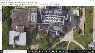
This short tutorial will show where to find a great selection of maps and imageries, how to download it in different resolution. The downloaded map/imagery is georeferenced and will locate itself automatically in the right location with the right projection in your GIS / Cad document.
It bases on the software SASPlanet, a free software available here:
https://www.learngeom.com/2021/08/lat...


Recommended