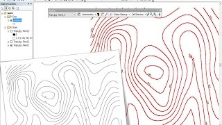
Scanned Map Digitization and Shapefile Creation in ArcGIS || Convert Image to ESRI Shapefile

In this video, we'll show you how to digitize and create a Shapefile from a scanned map in ArcGIS. We'll cover everything from inputting the data to creating the Shapefile and also convert Map Image to ESRI Shapefile.
If you're looking to digitize a scanned map or Image and create a Shapefile, then this video is for you! We'll teach you how to digitize the map and create the Shapefile in a easy and userfriendly way using ArcGIS. After watching this video, you'll be able to create a shapefile from a scanned map.
========================================
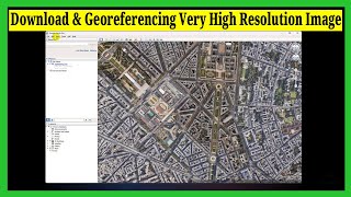
▶▶ Georeferencing Map: • Georeferencing Map in ArcGIS || Geore...
CSV to GIS Shapefile: • Excel to Shapefile in ArcGIS || Conve...
Download 10m LULC Data: • Free Download ESRI Latest Land Use La...
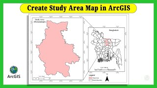
Create Study area Using shapefile: • Create Study Area Map in ArcGIS || Ma...
Download Waterbody shapefile: • Download Water Body Data (Lakes, Rive...
Download Shapefile for any Country: • Download GIS Shapefiles for Any Count...
Mosaic DEM: • How to Merge or Mosaic DEM in ArcGIS ...
Watershed Delineation: • Watershed Delineation in ArcGIS from ...
Sequential Number using Field Calculator: • How to Create Sequential Numbers in A...
Landsat Band Composition: • How to Composite Bands and AOI Extrac...
Supervised Classification: • Supervised Image Classification in Ar...
Calculate NDVI: • How to Calculate NDVI From Landsat 8 ...
USGS Account Creation: • How to Create USGS Earth Explorer Acc...
Download DEM: • How to Download Digital Elevation Mod...
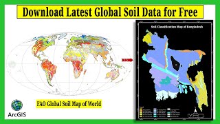
FAO Soil Data: • Download Free Global FAO Soil Shape f...
========================================
Time Stamps:
00:00 Intro
00:13 What is Digitization?
00:25 Add Map Image
01:04 Shapefile Creation
01:20 Set Spatial Reference
01:53 Start Editing
02:23 Draw Boundary
06:16 Validate Shapefile Using Basemap
07:40 Thanks
========================================
Related Queries:
how to digitize in arcgis
how to digitize scanned map in arcgis
georeferencing in arcgis
heads up digitizing arcgis
how to convert image map to esri shapefile
digitization in arcmap
How To Digitization A Scanned Map With ArcGIS
========================================
✨Facebook: / gisandremotesensingeducation
✨LinkedIn: / gisrseducation
#arcgis #digitization #shapefile #esri