YouTube magic that brings views, likes and suibscribers

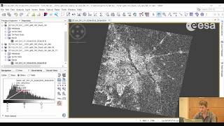
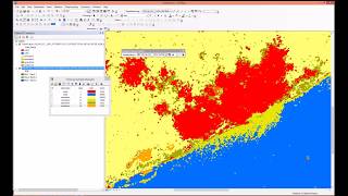
Sentinel 1: Basic Image Visualization and Analysis

Use Geomatica to visualize and interpret information contained in dual channel Sentinel1 imagery. Freely available imagery was downloaded from the European Space Agency


Recommended