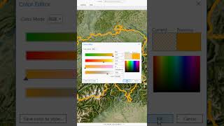
Shapefile (Feature) Symbology in Arc GIS

This tutorial focuses on shapefile (point, line, and polygon) symbology in ArcGIS.
*******************************************************************
Tutorial Video Download Link ;
https://t.me/GRscience/55
++++++++++++++++++++++++++++++++++++++++++++++++++++
Lecture Download Link :
https://t.me/GRscience/54
Practical part Converting DN (digital number) into Top of Atmospheric ( Reflectance) in Satellite Images
• Practical Part in GIS How to Convert...
+++++++++++++++++++++++++++++++++++++++++++++++++++++++
SAVI (Soil Adjusted Vegetation Index) Calculation In Arc Map
• SAVI (Soil Adjusted Vegetation Index)...
+++++++++++++++++++++++++++++++++++++++++++++++++++++++
تیوری سنجش از دور جلسه ششم
• تیوری سنجش از دور جلسه ششم
+++++++++++++++++++++++++++++++++++++++++++++++++++++++
Adding base Map ( Google earth, Topography ...) in GIS Software
• Adding base Map ( Google earth, Topog...
+++++++++++++++++++++++++++++++++++++++++++++++++++++++