Slope Aspect Contour Hillshade Map in ArcGIS

In this tutorial you will learn slope, aspect, contour and Hillshade map using ArcGIS. With the Surface tools, you can quantify and visualize a terrain landform represented by a digital elevation model (DEM).
Download DEM data: • Digital Elevation Model (DEM) data of...
Aspect: Derives aspect from a raster surface. The aspect identifies the downslope direction of the maximum rate of change in value from each cell to its neighbors.
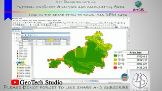
Slope: Identifies the slope (gradient, or rate of maximum change in zvalue) from each cell of a raster surface.
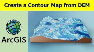
Contour: Creates a line feature class of contours (isolines) from a raster surface.
Hillshade: Creates a shaded relief from a surface raster by considering the illumination source angle and shadows.
Source: ArcGIS for Desktop, ESRI
Hope you will able to learn quickly this surface analysis tools of ArcMap. It will help you to prepare different variable maps for different assessment like LULC prediction, landslide susceptibility analysis, flood risk, ground water potential zoning and so on.
If you like this video, you can consider subscribing this channel and get one or two tutorials on weekly basis.
Related tags: aspect, slope, hillshade, contour map, how to prepare slope map, how to prepare contour map, how to prepare aspect map, how to prepare hillshade map
#surface_analysis_tools #arcgis_tutorial #gisrssolution