Soil Map Preparation for SWAT Model || SWAT Data Preparation || @GeoTech Studio

SWAT Analysis : Soil and Water Assessment Tool
If you have any confusion regarding this you can comments below.
Donot forget to like share and subscribe if you like our videos.
Follow us on Social Media:
Facebook IDs : / bhuwon.paudell
/ bhuwan.paudel.739
Facebook Page: / geotechstudio
Twitter id: / bhuwanpaudel96
instagram ids: / iambhuwanpaudel
Link to other Videos:
Data Preparation SWAT Model : Soil Properties Data || SWAT Simulation:
• Data Preparation SWAT Model : Soil Pr...
Installation of ERDAS Imagine 2015:
• Video
Mosaicing in GIS:
• Mosaicing in GIS || Extraction of AOI...
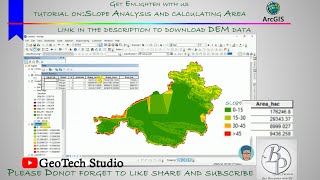
Slope Analysis from DEM in ArcGIS:
• Slope Analysis from DEM in ArcGIS || ...
Digitization in QGIS Using Snapping Options
• Digitization in QGIS Using Snapping O...
Georeferencing on QGIS
• Georeferencing on QGIS || @GeoTech_St...
Hotspot Analysis Using ArcMap:
• Hotspot analysis using ArcGIS || Crim...
Stream Order Analysis from a Digital Elevation Model using ArcGIS 10.X
• Stream Order Analysis from a Digital ...
Extraction or Digitization of Land features using Landsat 8 Data:
• Extraction or Digitization of Land fe...
Calculating Land Surface Temperature using Landsat 8 images by ArcGIS:
• Extraction or Digitization of Land fe...
Calculating the Criteria Weight by Multiple Criteria Decision Making :
• Calculating the Criteria Weight by Mu...
Interpolation:
• Heat Distribution Mapping Using diffe...
Thematic Mapping of COVID19:
• Thematic Mapping of COVID 19 || Gener...
Study Area Mapping:
• Study Area Mapping Using ARCGIS ||10....
Landuse Land Cover link:
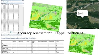
• Land Use Land Cover Mapping | Image C...
Landslide Assessment video link:
• How to do Landslide Analysis in Arcgi...
USGS data downloading tutorial video link:
• Download Dem or landsat data from Goo...
Fire Risk Assessment video link:
• Fire Risk Zonation or Assessment On A...
Water Delineation Tutorial link:
• How to use a DEM to delineate a Water...
Georeferencing On ArcMap:
• Georeferencing In ArcGIS (Bhuwan Paud...
Official Gmail ID: [email protected]