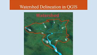
Stream and catchment delineation in QGIS 3

Stream and catchment delineation in QGIS 3 using only Open Data (SRTM).
This video is part of IHE Delft OpenCourseWare. More free resources can be found at http://www.gisopencourseware.org
For an overview of our GIS courses and info on tailor made trainings and advise see our folder: https://www.unihe.org/sites/default/...
More information about the book "QGIS for Hydrological Applications Recipes for Catchment Hydrology and Water Management" by Kurt Menke and Hans van der Kwast can be found at the website of Locate Press: http://www.locatepress.com/hyd
IHE Delft and Nieuwland Geoinformatie offer an online course. It includes support from experienced trainers and you'll get the official QGIS certificate after completion. More info at: http://www.learninggis.com
Subscribe to the YouTube Channel for updates!
Credits for OpenStreetMap data: © OpenStreetMap contributors
SRTM data can be downloaded from: https://earthexplorer.usgs.gov
Note that with the new dependencies in QGIS this will not work.
For work around see: • Install QGIS with SAGA 2.x (old depen...
And also see: https://github.com/qgis/QGIS/issues/4...
#QGIShydro #QGIS #IHEDelft