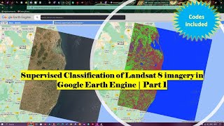
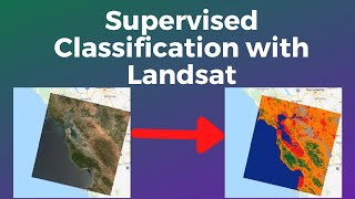
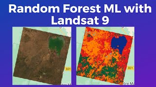
Supervised Classification in Google Earth Engine

In This Tutorial, I will present how to do supervised Classification using Sentinel 2 image in Google Earth Engine
Remote sensing is a powerful tool for mapping and monitoring the Earth’s surface. It involves the acquisition and analysis of data from various sensors, such as satellites, aircraft, and drones. One of the key applications of remote sensing is land cover classification, which involves categorizing different land cover types based on their spectral properties.
There are two main approaches to land cover classification: supervised and unsupervised classification.
Supervised classification is generally more accurate than unsupervised classification because the user has control over the classification process and can ensure that the training data is representative of the land cover types.
Supervised classification is a technique in remote sensing where a set of training data is used to classify pixels in an image. The training data consists of samples of each land cover type that the user wants to map. The user manually selects the training samples from the image and assigns them to their respective land cover classes. The classifier then uses this training data to classify the remaining pixels in the image.
Training Data
The selection of training data is a crucial step in supervised classification. It is essential to select representative pixels for each class that capture the spectral variability of that class. The number of training pixels needed for accurate classification depends on the complexity of the study area and the number of classes.
#gee #classification #supervised #supervisedclassification #googleearthengine #googleearth #rs #remotesensing #gis #sentinel2 #landsat #satelliteImagery #imagery #satelliteimagery