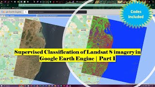
Supervised Classification of Landsat 8 imagery in Google Earth Engine | Part 2

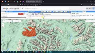
Part 2 Video "Supervised Classification" of Land Cover Using Landsat 8 Images in Google Earth Engine" presents a detailed guide on how to conduct supervised classification of land cover using Landsat 8 images in Google Earth Engine. The video covers several essential topics, including
selecting Region of Interest (ROI), selecting image, training samples, creating a classifier, and assessing the accuracy of the classification. Additionally, Codes used in the video is offered freely.
Join this channel to get access to perks:
/ @terraspatial
Code Link: https://code.earthengine.google.co.in...
Part 1 Video link: • Supervised Classification of Landsat ...
Part 2 Video link: • Supervised Classification of Landsat ...
#supervisedclassification #landsat8 #googleearthengine