Learn how to get Free YouTube subscribers, views and likes

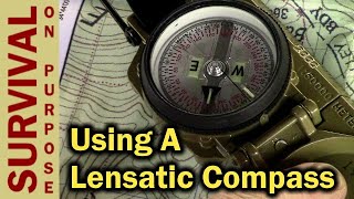
Suunto MC-2G Compass (How to Plot a Bearing on a Map)

In this short video, I show you how to use your Suunto MC2G compass to plot a bearing on a topographical map. This is a very easy method that you can use in the Wilderness. One correction in the video. I say that the red lines on the compass are called meridian lines. Those lines are called orienting lines. http://theamericanbackpacker.tv ([email protected])


Recommended