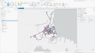
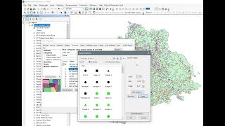
Symbology in ArcMap
learn how to symbolize in ArcMap with Categories, Quantities and Chats
link to previous videos
Labelling • Labelling in ArcMap
ArcMap Attribute table • ArcGis Attribute Table
Digitizing in Arcmap 2 • How to digitize a scanned map in arcmap
Digitizing in Arcmap 1 • How to digitize in Arcmap
Overview of GEE (Google Earth Engine) • Overview of GEE (Google Earth Engine)
georeferecing part 2 • How to Georeference a map with anothe...
georeferecing part 1 • Georeferencing
Is X latitude or Longitude? how to never forget • Is X latitude or Longitude? how to ne...
coordinate reference system • Understanding Coordinate Reference Sy...
GIS data Structures • Understanding GIS Data Structures
GIS data types • Understanding GIS data types
GIS component • Understanding the components of GIS
ArcMap User interface • Arcmap10x user interface