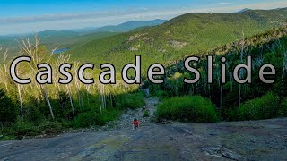
The Great Gulf Trail of Mount Washington | One of the Hardest Trails in the White Mountains

Called the Great Gulf, the massive ridge joining Mount Washington, Clay, Jefferson, Adams, and Madison forms the largest glacial cirque in the Presidential Range. The roar from Weetamoo Falls and the West Branch of the Peabody River echoes across the wilderness’ ridges and cliffs. Here, salient spurs descend each mountain to form small, remote ravines populated by moose and black bear.
Few places in New England can match its grandeur. The glacially carved, boulderstrewn terrain rises over 2,000 feet from the Gulf’s floor to the peaks, making any visitor feel small and fragile.
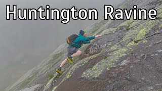
The trail network in this region, perhaps the Whites’ most rugged and spectacular, provides hikers familiar with these mountains new vantages, challenges, and solitude. Each ascends a direct and arduous route over a steep ridge or up a wild ravine, making most Presidential Range trails feel tame by comparison.
In addition to ascending tremendous elevation over a modest distance, hikers must navigate all of the challenges nature can provide: housesized boulders, major water crossings, and precipitous ledges.
______________Great Gulf History_______________
The Edmands Path, Crawford Path, and Valley Way were constructed with a hiker’s comfort in mind, with grading and switchbacks. By contrast, The Great Gulf’s trails, built between 1908 and 1910, were at the mercy of the terrain. Specifically, trail builders used paths nature had already cleared: landslides, boulder fields, and talus. As a result, these trails follow painfully direct routes to the summits, which only strong hikers should attempt.
____________The Great Gulf Trail_____________
[7.4 miles, 4,650 feet of elevation]
Traveling 7.4 miles and ascending more than 4,500 feet from New Hampshire Route 16 to an area below the summit of Mount Washington, the Great Gulf Trail is the network’s artery. It is also perhaps the most demanding. After following the West Branch of the Peabody River for six miles, it passes Weetamoo Falls and eventually Spaulding Lake—a gorgeous glacial tarn—before ascending the massive boulders and landslides of the Great Gulf headwall.
Being in a wilderness area, the Great Gulf’s trails are maintained to a low standard. As such, hikers will encounter brook crossings, sharp boulders, standing water, and slippery river rocks.
__________________________________________________
LIKE | COMMENT | SHARE
__________________________________________________
Follow us on Instagram @
brian_hikes_all_day
brian_hikes_all_night
mtbskir12
trails2k
__________________________________________________
Tips for people just getting into hiking:
Don’t do this hike if you are a beginner! Seriously
LNT leave no trace. Meaning if you carry it in then carry it out and if you do see trash on trail try to carry it out as well to help keep these mountains beautiful and clean.
Do The Rock Hop The Alpine vegetation is very rare and very fragile so when you’re on the summit of these mountains please only walk on bare rocks to avoid killing the vegetation!
__________________________________________________
Affiliate links!
Liquid IV
Use my code for 25% off and free shipping!
https://glnk.io/qv1w/brianhikesallday
Discount Code: BRIAN_HIKES_ALL_DAY
__________________________________________________
#GreatGulfTrail #MountWashington #Terrifying25 #GreatGulf #GreatGulfWilderness