The Importance of Accurate Coastal Elevation and Shoreline Data
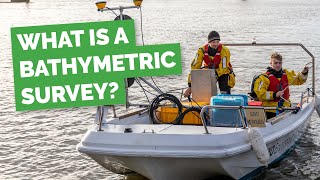
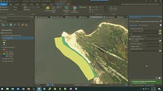
Produced in collaboration between NOAA’s National Geodetic Survey (NGS) and The COMET Program, this video explains the role of topobathy lidar products in NOAA’s mapping and charting program, and how these products provide a critical dataset for coastal resilience, coastal intelligence, and placebased conservation. Federal, state and local decisionmakers, coastal zone managers, community planners as well as general and scientific users of mapping products will find this 4minute video helpful for understanding the benefits of coastal elevation data produced by NGS.
For more information on geospatial infrastructure, visit http://www.geodesy.noaa.gov/.
For more information and a gallery of reusable resources from this video see https://www.meted.ucar.edu/training_m...
See COMET's MetEd website for hundreds of other geoscience training resources: http://www.meted.ucar.edu.