A little secret to rock your YouTube subscribers

The Magic of Lidar 3D Mapping
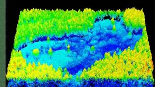
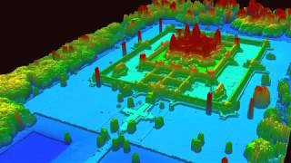
A sophisticated technique using lasers from an aircraft to map the terrain below has been helped by Higher Level Stewardship funding. Lidar (Light Detection And Ranging), is a technique that is able to peel back the vegetation in the computer to reveal previously unknown landforms below. It has both archaeological and environmental uses that improve our knowledge of the New Forest, taking the Forest's past history into the future.


Recommended