A little secret to rock your YouTube subscribers

The Truth About Shapefiles in GIS | GIS Glossary Part 1

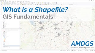
Shapefiles have been the goto format for geospatial data delivery since the 90s, but they have limitations. They are essentially zip files containing multiple individual files, with column names limited to 10 characters and a maximum of 255 attributes. They are also restricted in size, making them less than ideal for storing and transferring data. A dedicated website even argues against their use. #vizard


Recommended