Get YouTube subscribers that watch and like your videos

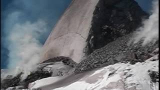
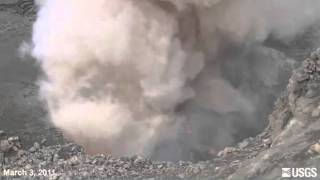
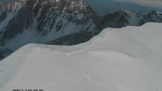
Time-series of dome and glacier growth at Mount St. Helens Washington 2004-2012

http://gallery.usgs.gov/videos/627
The video shows timelapse changes in the lava dome and Crater Glacier from 20042012. The images were created from 1:12,000 scale vertical aerial photographs combined with ground control points from campaign GPS and targets. Photogrammetry software was used to collect a 3D point cloud and combined to make a digital elevation model (DEM). Information regarding volume and rates of growth of the lava dome and glacier are extracted from DEMs to monitor surface changes in the crater.


Recommended