Topographic Ruggedness Index Calculation using DEM in ArcGIS and QGIS

Learn how to do topographic ruggedness index calculation using DEM in ArcGIS and QGIS and how to interpret the result.
Important Tutorials:
ArcGIS Geodatabase Design Basic File Geodatabase, Field, Subtype, Domain: https://cutt.ly/JYSmgQa
Free Spatial Data |Shapefile| of Any Country & Humanitarian Data: https://cutt.ly/1WawYD1
Land Cover Data 10 m Resolution: https://cutt.ly/3Waqcvo
Least Cost Path: https://cutt.ly/xWaqmEb
Download Open street Map: https://cutt.ly/SWaqWFk
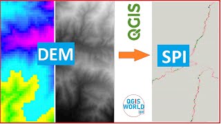
Stream Power Index SPI Calculation:https://cutt.ly/jWaqT9t
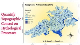
Topographic Wetness Index TWI Calculation: https://cutt.ly/qWaqIw5
Suitability Analysis Using Arcgis: https://cutt.ly/6WaqSnA
Add xy data from excel, clip, select, split, table select tools in ArcGIS: https://cutt.ly/mWaqGuS
Drainage or Stream Frequency & Infiltration number: https://cutt.ly/7WaqJ5U
Calculate Stream or Drainage Density: https://cutt.ly/VWaqX36
Extracting Stream or Drainage Network from DEM: https://cutt.ly/QWaqMS9
Detail Watershed Delineation using DEM: https://cutt.ly/TWaq3Lk
ArcGIS Tutorial:https://cutt.ly/qWaq7gu
Qgis Tutorial: https://cutt.ly/ZWaq6e2
Change Detection: https://cutt.ly/sWawwfX
Download Free Shapefile:https://cutt.ly/XWawrsG
Download Soil Organic Carbon, Evapotranspiration, Land cover, Precipitation Data: https://cutt.ly/cWawtFC
Human Influence Calculation: https://cutt.ly/TWawuPv
Lineaments Extraction :https://cutt.ly/sWawi3K
World Soil Map Shapefile: https://cutt.ly/tWawaxY
Hotspot / Kernel Density Analysis: https://cutt.ly/nWawgLt
GIS Shapefile Data ( Road, Structure, etc.) for Any Country: https://cutt.ly/WWawjPq
Land Cover Change Detection: https://cutt.ly/cWawleE
Soil Moisture Index and Land Surface Temperature Calculation: https://cutt.ly/tWawzhs
Calculate normalized burn ratio (NBR): https://cutt.ly/WWawxL9
Keywords:
terrain ruggedness index formula, terrain ruggedness index by country, terrain ruggedness index saga, terrain ruggedness index values, terrain ruggedness index in r, terrain ruggedness index python, terrain ruggedness index qgis, terrain ruggedness index arcgis, terrain ruggedness index qgis, tri, Topographic Ruggedness Index Calculation using DEM in ArcGIS and QGIS,
Contact if need
Facebook: / rsgistutorial
Twitter: / rsexplore
Linkdin: / siamkhan89236a1b9