Get YouTube subscribers that watch and like your videos

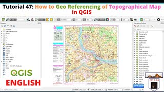
Topographical Map Downloading Geo-referencing Masking and Merging || In Detailed using Q GIS 3

In this video a complete guide of topographical map downloading, conferencing, masking and merging the raster layers have been performed. All the process has been done with indetailed analysis using open source software Q GIS 3.
#GeographyLab, #RS&GISGuide, #RS&GIS, #RS&GISSolution, #QGIS3, #OpensourceSoftware, #GeoInformatic, #GeoSpatial, #GeographicalAnalysis, #GeospatialAnalysis


![How to georeference topo map and combine images together in ArcMap [Khmer GIS Academy]](https://i.ytimg.com/vi/WZW19whMesk/mqdefault.jpg)


Recommended