Urban Heat Island (UHI) assessment using satellite imagery with GIS

Urban Heat Island (UHI) and UHI (stack) Profile
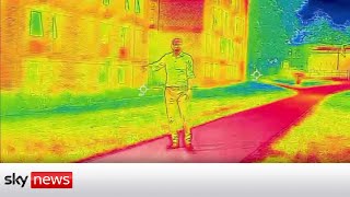
An urban heat island occurs when a city experiences much warmer temperatures than nearby rural areas. The difference in temperature between urban and lessdeveloped rural areas has to do with how well the surfaces in each environment absorb and hold heat.
Heat islands are urbanized areas that experience higher temperatures than outlying areas. Structures such as buildings, roads, and other infrastructure absorb and reemit the sun’s heat more than natural landscapes such as forests and water bodies. Urban areas, where these structures are highly concentrated and greenery is limited, become “islands” of higher temperatures relative to outlying areas.
Calculations
UHI =(LSTLSTm)/SD
Where,
UHI= Urban Heat Island
LST= Land Surface Temperature
LSTm= Mean temperature of the land surface temperature in the research area
SD= Standard deviation of temperature