The easiest way to skyrocket your YouTube subscribers

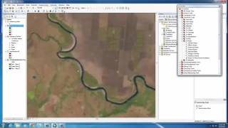
Using ArcGIS For Supervised Classification
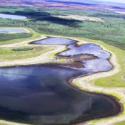
In this session, you will do a supervised classification of a 4band Landsat8 sensor image for an area near Eielson Air Force Base in interior Alaska. The image is from 15September2013 and has four spectral bands from the green,red,nearinfared, and shortwave infrared spectral regions. Your classification will be of 6 land cover classes: 1)Turbid Water, 2) Clear Water, 3) Broadleaf Forest 4) Spruce Forest, 5) Shrubland, and 6) Barren.


Recommended