15 Free YouTube subscribers for your channel

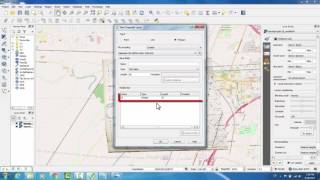
Using Google Earth Images in QGIS

This video shows several ways to get Google Earth images into QGIS, with a focus on using base maps to create highresolution images that can be easily georeferenced. Several base map options are discussed with examples of each method.


Recommended