Grow your YouTube channel like a PRO with a free tool

Using Landsat Sensor Data To Map Burned Areas
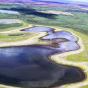
In this session you will use the Near Infrared and Short Wave Infrared bands to compute a normalized burn ratio after computing spectral reflectance. You will then compute a difference Normalized Burn Ratio (dNBR) from prefire and postfire NBR indices to map burned pixels in a wildfire that burned near Big Delta, Alaska.


Recommended