Free YouTube views likes and subscribers? Easily!

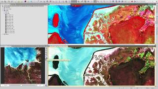
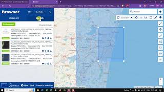
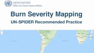
Using Sentinel-2 Imagery to Identify u0026 Map Wildfire Events

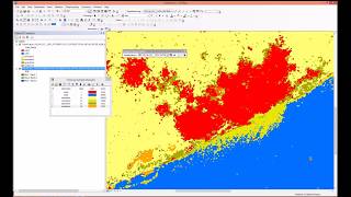
Demonstration of the use of Sentinel2 imagery to identify areas of land affected by wildfire scarring.
This video will take you through the procedure of acquiring Sentinel2 imagery, processing it and analysing it to produce information on wildfire burning/scarring.


Recommended