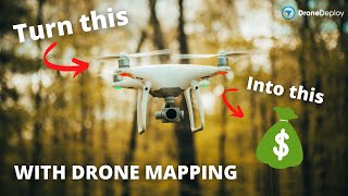
What Does A $350K LiDAR Project REALLY Look Like?
What do you get when you pair a turnkey LiDAR solution and a client that is looking to have an aerial survey completed in 23 weeks rather than 23 months? This $350,000 LiDAR project I just completed is exactly what ended up happening with my client and me. Check this video out to learn how I was able to capture 750 acres of land in less than 12 hours and provide deliverables to my client in 23 weeks' time from initial data capture!
Thank you Rock Robotic for sponsoring this video! Harrison and his team over at Rock Robotic are a great group of people with a fantastic product and a killer support system to get you up and running with aerial LiDAR quickly.
Learn more about Rock Robotic here: https://www.rockrobotic.com/
►Resources/ Equipment used
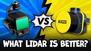
Rock R2A LiDAR: https://www.rockrobotic.com/dronelid...
Emlid RS2 GNSS: https://emlid.com/reachrs2plus/
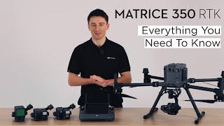
DJI M300 RTK: https://www.dji.com/matrice300
DJI DRTK 2 GNSS: https://www.dji.com/drtk2
UGcS Flight Planning Software: https://www.ugcs.com/
—
► Looking to Fast Track your way to a career in the commercial drone industry? Join many others who have taken this private 4week mentorship program and see how you can get flying: https://www.pilotbyte.com/course/4we...
►Drones used in the drone industry:
1) "Beginner" DJI Mini 2: https://amzn.to/3MwY7GO
2) "Beginner" DJI Air 2s: https://amzn.to/3s2TVGO
3) "Advanced" DJI Mavic 2 Pro: https://amzn.to/3B2cGhv
4) "Advanced" DJI Phantom 4 Pro: https://amzn.to/3B7eAx7
5) "Intermediate" DJI Inspire 2: https://amzn.to/38EerXp
6) "Intermediate" DJI Mavic 3: https://amzn.to/3LAK3vO
► Subscribe to my channel here: / dylangorman
—
My Camera Equipment!
Canon R5: https://amzn.to/36YsAP1
Canon 2470 2.8L: https://amzn.to/2S2KVCK
Rode Microphone: https://amzn.to/3pfokiM
Drone: https://amzn.to/3x9GHLW
__
Follow me online!
LinkedIn: / dylang099961101
Instagram: / dylang_1
—
Chapters
00:00 Intro
00:48 Why am I capturing LiDAR for this project?
02:35 Equipment/ software overview
03:44 Setting ground controls
04:42 Rock Robotic
06:12 Flight planning w/ google
08:33 Mission automation with UGcS
09:44 Infield data capture
11:44 Data processing
14:18 Analyzing the data
15:57 Processed data review
16:46 Conclusion
rock r2a rock robotics r2a phoenix lidar phoenix lidar systems velodyne lidar