Easy way to get 15 free YouTube views, likes and subscribers

What Is Top of the Atmospheric (TOA) Correction?

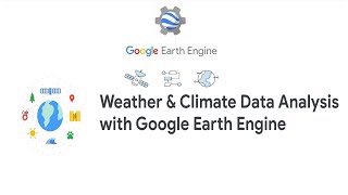
This video describes the top of the atmosphere (TOA) correction, a technique commonly implemented on optical remote sensing dataset. Further, the Google Earth Engine (GEE) implementation of TOA has been described in detail.


Recommended