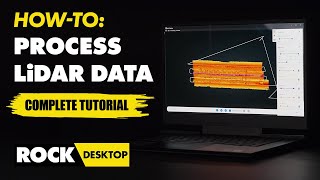
What's new in QGIS 3.32 - LIDAR PROCESSING

Let's see what has been introduced in QGIS 3.32.
Amongst numerous quality of life improvements across a broad spectrum of existing features, the 3.32 release features the long awaited functionality for Native Point Cloud Processing in QGIS, allowing QGIS Desktop to become a powerful processing utility for LiDAR data.
+++ What is QGIS?
#QGIS is a professional #GIS application that is built on top of and proud to be itself Free and Open Source Software (FOSS).
+++ Tales from the GIS?
Tales from the GIS is a #geospatial journey into the fascinating world of Geographic Information Systems, telling you stories about nature and world.
+++Who am I?
Tales from the GIS is hosted by Eduard Roccatello. I love working on innovative solutions: things that change the status quo about spatial data development and usage. My day is full of math and big data. I like to be surrounded by interesting and skilled people. I really do care about user experience and software usability.
CHANGELOG
https://qgis.org/en/site/forusers/vis...

![How To Setup a Custom Domain [DropFunnels Tutorial]](https://i.ytimg.com/vi/1amf85GXGKs/mqdefault.jpg)