Zonal Statistics in ArcGIS | Find Raster Values like Min Max Avg SD u0026 Sum | Any study area

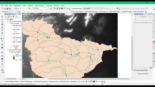
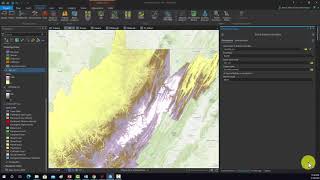
Zonal statistics are statistics calculated from the values of raster cells falling within zones defined by another raster or vector dataset. In short, zonal statistics give us an idea of the statistical characteristics of a particular zone, e.g., average temperature by landuse/landcover type, Elevation by temperature, etc..
Zonal Statistics as Table: Summarizes the values of a raster within the zones of another dataset and reports the results to a table.
What do we get from Zonal Statistics?
Summary data obtained through zonal statistics include mean or average, median, count, standard deviation sum, maximum, minimum and range.
Join Membership to get access to perks & Support us
/ @terraspatial
Join the Terra Spatial Community:
Engage with fellow learners, share your experiences, and get support on our dedicated community forum.
Stay connected:
Subscribe to our Channel: / @terraspatial. .
Facebook: / terraspatial
Geosuite blog: https://geosuite.blogspot.com/
**Don't forget to Like, Share, and Subscribe for more insightful tutorials! ✨
#zonalstatistics #arcgis #raster